Whiteoak Canyon & Cedar Run Loop: Why Hike One Canyon When You Can Explore Two?
Many visitors explore Whiteoak Canyon on an out-and-back hike to one or more falls. We wanted to experience more of the landscape, so we followed the official Cedar Run–Whiteoak Canyon circuit, starting from Whiteoak Boundary Parking and hiking in the opposite direction from the National Park Service's published itinerary. We hiked uphill along Cedar Run Trail toward Hawksbill Gap, followed the connecting trails and Whiteoak Canyon Fire Road, and returned downhill through Whiteoak Canyon. The result was a complete loop through two remarkable canyons without retracing our steps.
We hiked in October, when Shenandoah's mountains were at their most beautiful. Golden, orange, and red foliage brought color to the canyon slopes, framing the rocky streams and waterfalls along the route. The mild autumn temperatures were another reason we enjoyed this hike: they made the long uphill stretch along Cedar Run far more comfortable than it would likely be on a hot, humid summer day.
Quick Verdict: Is the Full Loop Worth It?
For hikers prepared for a strenuous, full-day outing, absolutely. The loop offers a richer experience than visiting a single waterfall and turning back. Cedar Run features rocky streambeds, cascades, and narrow canyon scenery, while Whiteoak Canyon is known for its larger waterfalls. Connecting the two means the scenery keeps changing as the day unfolds.
Whiteoak Canyon–Cedar Run Loop: Facts at a Glance
| Planning item | What to know |
|---|---|
| Location | Shenandoah National Park, Virginia; lower Whiteoak Canyon boundary-access trailhead |
| Trail type | Loop: Cedar Run → Hawksbill Gap area → connecting trail/fire road → Whiteoak Canyon |
| Distance | NPS published Hawksbill Gap circuit: 8.1 miles; our boundary-start variation: verify with GPS |
| Elevation gain | NPS published circuit: 2,794 ft cumulative; our boundary-start variation: not GPS verified |
| Hiking time | NPS published circuit: about 7 hours; allow a full day for our boundary-start variation |
| Difficulty | NPS classification: Very strenuous; our main challenge was sustained ascent and rocky footing |
| Best time | Fall for foliage and milder hiking temperatures; spring for higher waterfall flow |
| Trailhead | Lower Whiteoak Canyon parking area, near Syria, VA |
Official NPS Circuit vs. Our Starting Point and Direction
The National Park Service lists the Cedar Run–Whiteoak Circuit as a very strenuous 8.1-mile hike, with approximately 2,794 feet of cumulative ascent and about seven hours of hiking. Its published directions start at Hawksbill Gap (Skyline Drive mile 45.6), descend Cedar Run, connect through Whiteoak Canyon and return by the Whiteoak Canyon Fire Road/Horse Trail. The official NPS Whiteoak Canyon Area map (January 2025) also identifies Whiteoak Boundary Parking and the Whiteoak–Cedar Run Link Trail. We used this same connected circuit from the boundary and traveled the opposite way: up Cedar Run first, then down Whiteoak Canyon. The starting point and route direction are our variation—not a different unofficial trail.
Watch the Full Loop: Cedar Run and Whiteoak Canyon
Our companion video follows the route as we hiked it: the Cedar Run ascent, the fall scenery, the upper connector, and the return through Whiteoak Canyon. It captures the real trail experience and complements the directions and planning information in this guide.
Watch Whiteoak Canyon & Cedar Run on YouTube
Experience the Cedar Run ascent, autumn scenery, and waterfall-filled return through Whiteoak Canyon in our hiking video.
Our Route, Step by Step
1. Start at the Lower Whiteoak Canyon Parking Area
We parked at the lower trailhead near the park boundary instead of beginning on Skyline Drive. From this starting point, we could hike uphill on Cedar Run Trail while our energy was fresh and return downhill through Whiteoak Canyon. Parking can fill on popular fall weekends, so an early arrival is worthwhile.
2. Hike Uphill on Cedar Run Trail Toward Hawksbill Gap
From the lower parking area, we followed the Whiteoak–Cedar Run Link Trail to Cedar Run Trail and began the sustained uphill hike. The path follows a mountain stream through a rocky, wooded canyon, passing smooth stone slabs, cascades, and quiet pools. The main challenge is the continuous elevation gain, not technical climbing. A few steeper or rockier spots call for careful footing, especially where the trail is wet.
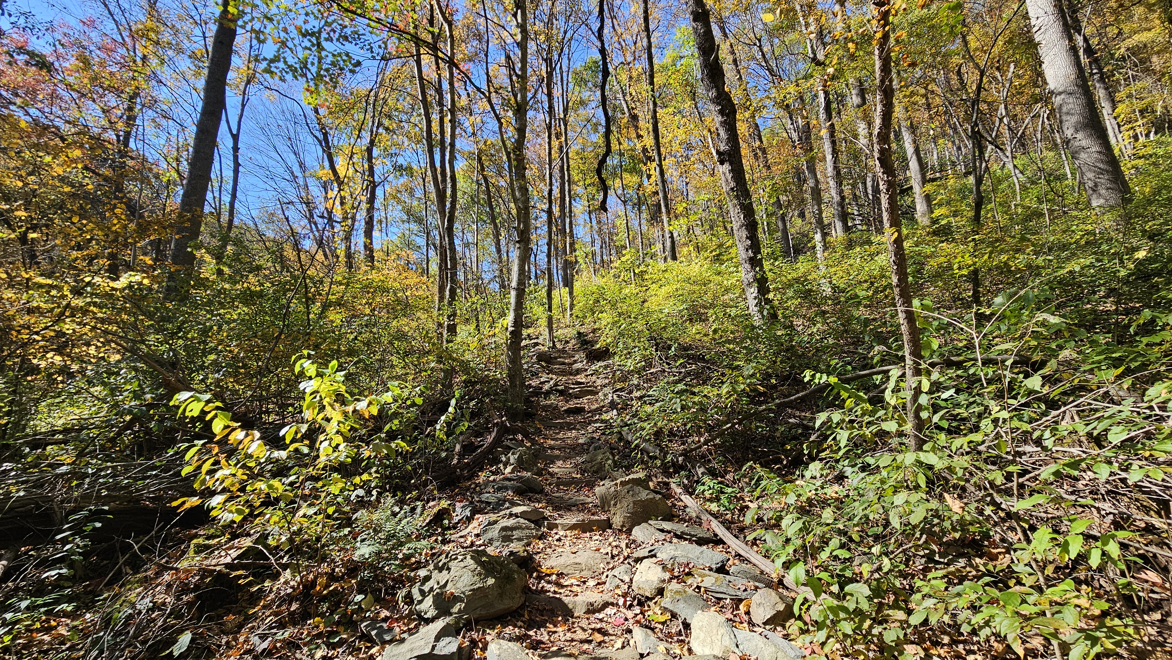
Cedar Run rock slides · Original photo by Next Outdoor Adventures.
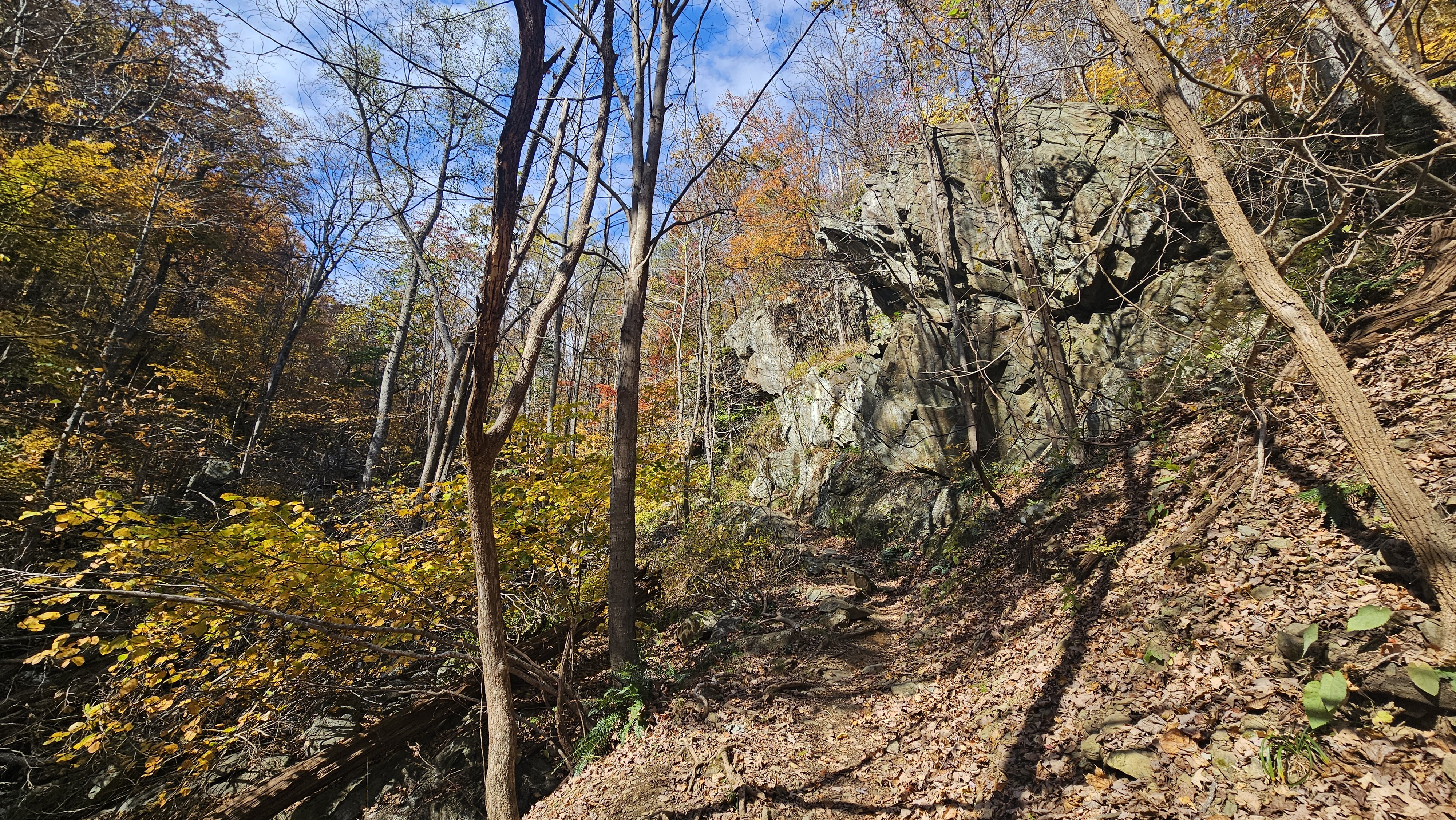
Cedar Run canyon · Original photo by Next Outdoor Adventures.
3. Cross the Upper Connection and Fire Road
Near Hawksbill Gap, we followed the connecting trails and Whiteoak Canyon Fire Road/Horse Trail toward Whiteoak Canyon Trail. This connecting stretch completes the circuit and provides a welcome change of pace after the long ascent along Cedar Run. Junctions are important here: follow the trail signs and consult a current map rather than assuming the two canyon trails connect directly.
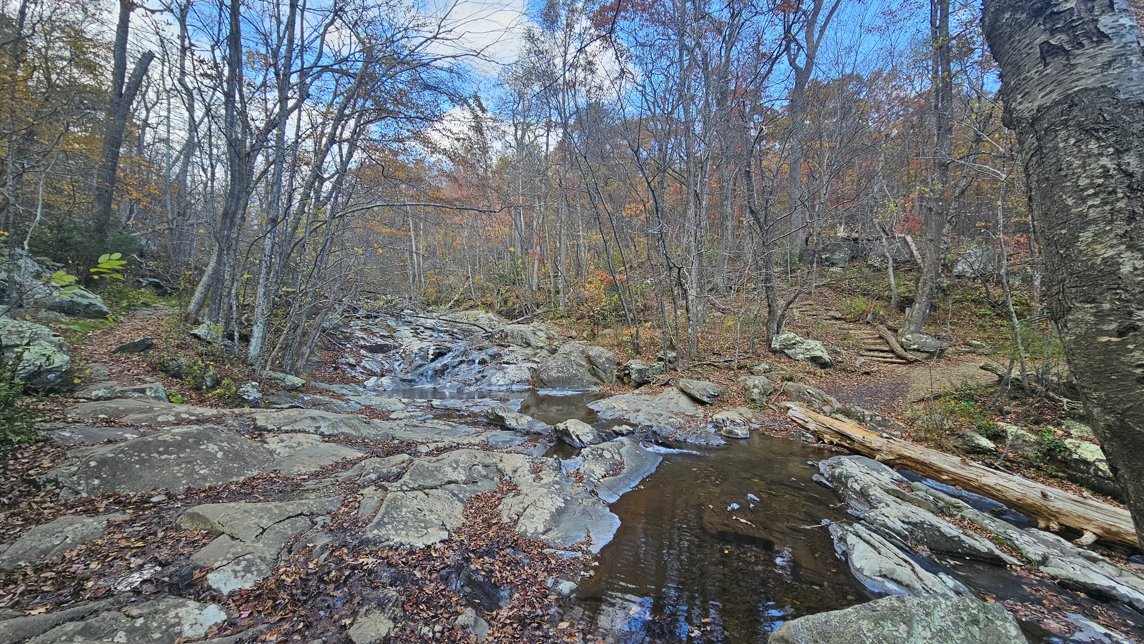
Upper forest connector · Original photo by Next Outdoor Adventures.
4. Descend Whiteoak Canyon Past the Waterfalls
Whiteoak Canyon was a highlight of our return. The downhill trail passes waterfalls, pools, and dramatic rock formations, with autumn foliage adding color to the surrounding slopes. Although descending felt more comfortable after the long uphill section, wet rocks, steps, and uneven footing still required attention. We took our time at the waterfalls rather than rushing back to the car.
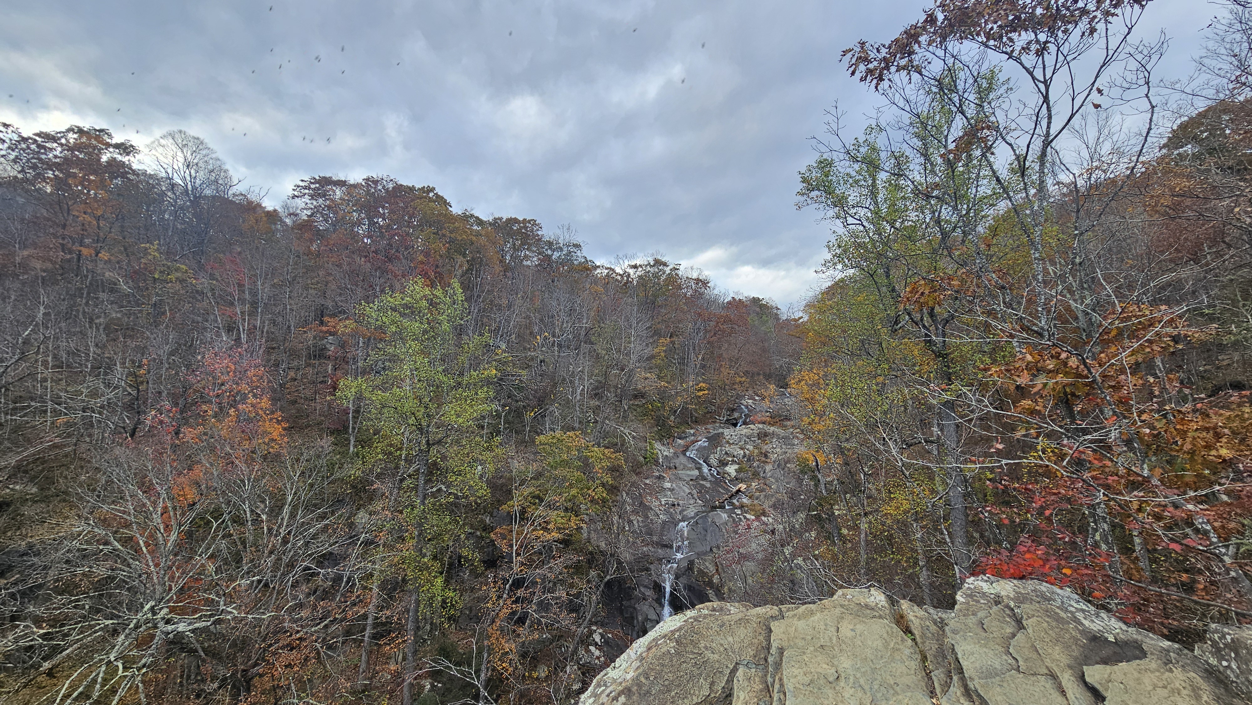
Whiteoak Canyon upper falls · Original photo by Next Outdoor Adventures.
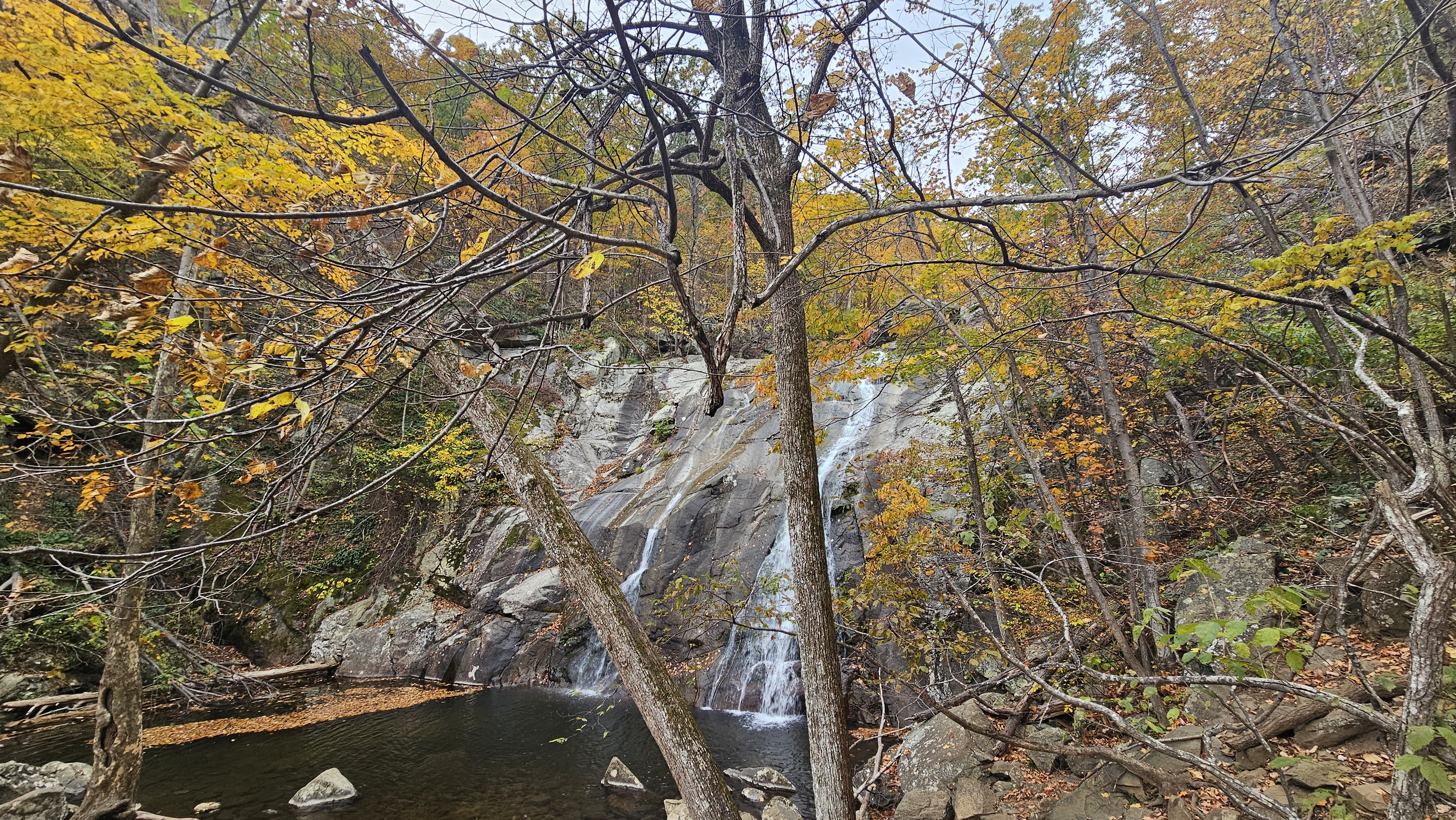
Whiteoak Canyon waterfall pool · Original photo by Next Outdoor Adventures.
5. Return to the Same Lower Trailhead
The final section brought us back to Whiteoak Boundary Parking. By then, we had experienced the character of both canyons—from Cedar Run's rocky stream corridor to Whiteoak Canyon's larger waterfalls—and enjoyed a continuously changing route rather than a repeat of the same trail.
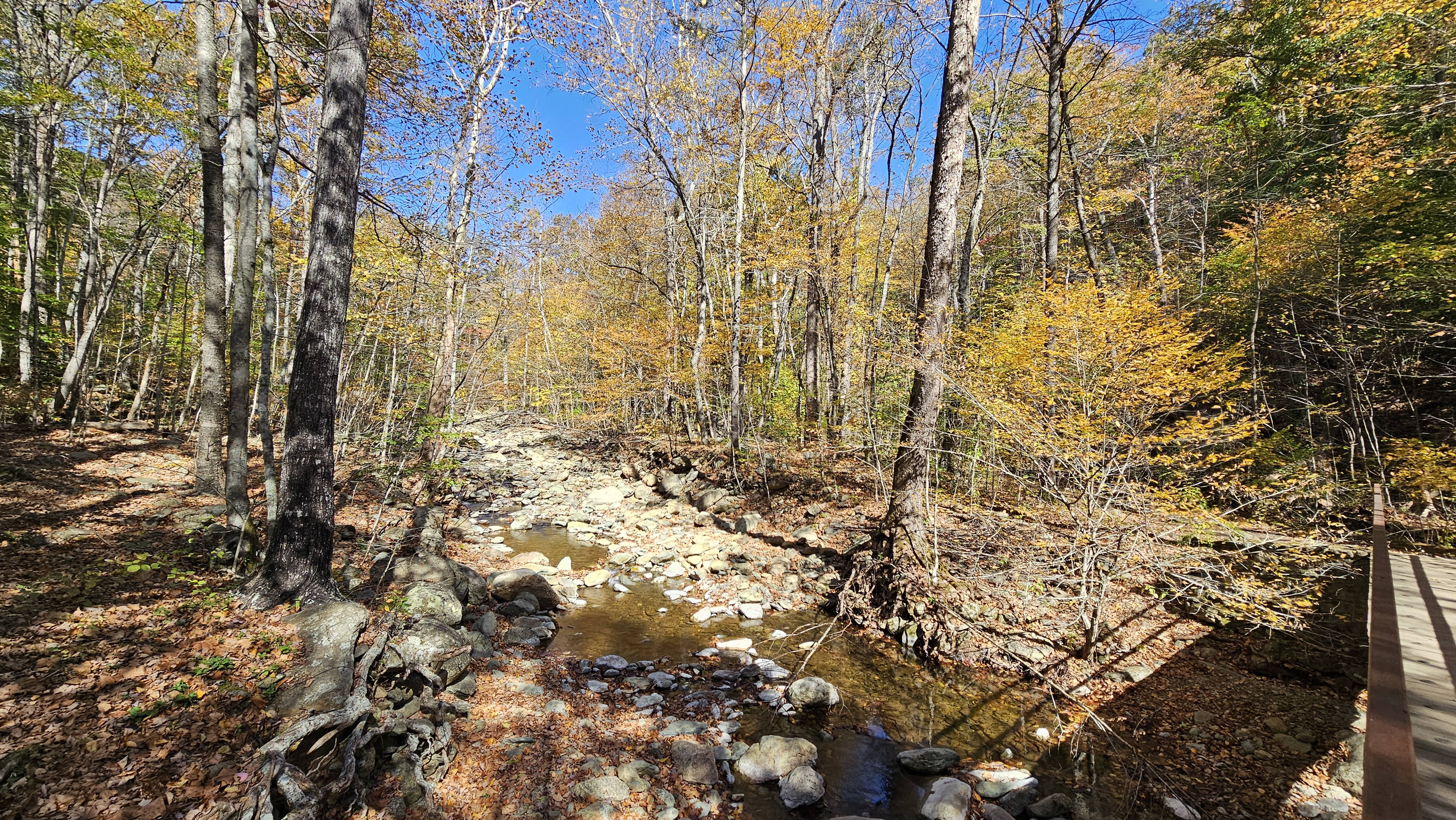
Lower canyon in autumn · Original photo by Next Outdoor Adventures.
Why We Preferred the Official Circuit to a Whiteoak Canyon Out-and-Back
A shorter out-and-back is ideal when time or energy is limited, and it can still deliver beautiful waterfall views. We chose the loop because it offered something different: a full journey through both Cedar Run and Whiteoak Canyon. Instead of seeing one section twice, we explored new scenery throughout the hike and encountered waterfalls and cascades in both canyons.
| Route | Experience | Trade-off |
|---|---|---|
| Upper trailhead to Upper Whiteoak Falls, out and back | Focused visit to an impressive waterfall | Shorter, but sees only part of the canyon |
| Lower Whiteoak Canyon out and back | Waterfalls along Whiteoak Canyon | Retraces the same route and does not visit Cedar Run |
| Cedar Run–Whiteoak Canyon loop from lower parking | Two canyons, varied streams and waterfalls, continuous new scenery | Long day and significant elevation gain |
How Difficult Is the Loop?
This is a strenuous hike because of its distance and sustained elevation gain. Hiking uphill for several miles along Cedar Run demands endurance, even though only a few sections involve particularly steep or awkward footing. The return through Whiteoak Canyon is mostly downhill, but uneven and leaf-covered rocks can still be tiring, especially for knees and feet.
Best Time to Hike Whiteoak Canyon and Cedar Run
Fall: Our Favorite for the Full Loop
October was our favorite setting for this hike. At this time of year, Shenandoah's mountain slopes can display a remarkable mix of yellow, orange, and red, and we enjoyed those colors throughout our route. Cooler temperatures made the sustained Cedar Run ascent more comfortable, while the foliage brought a different visual reward to nearly every turn. Peak color changes from year to year and with elevation, so check current foliage conditions before choosing a date.
Spring: Stronger Waterfalls, Fewer Leaves Early On
Spring, particularly April and May, can bring stronger waterfall flows after rain. The trade-off is that early spring often arrives before the forest has fully leafed out. That opens some views through the trees, but it lacks the rich colors we enjoyed in October. Streams and rocky surfaces can also be wetter.
Summer: Lush Forest, Harder Conditions
Summer brings a lush green canopy, but heat and humidity can make the long uphill hike on Cedar Run exhausting. For this full-day loop, we would choose a cool autumn day over a hot summer outing. Whatever the season, avoid stream crossings during high water and check the forecast for thunderstorms.
Winter: Conditions Can Change Quickly
Ice, shortened daylight and exposed slippery rock increase the demands substantially. Check National Park Service conditions and consider a shorter option when the forecast is uncertain.
Parking and Practical Trail Planning
Navigation: Use the official NPS Whiteoak Canyon Area map (January 2025) to identify Whiteoak Boundary Parking, Whiteoak–Cedar Run Link Trail, Cedar Run Trail, Hawksbill Gap and Whiteoak Canyon Fire Road. Do not assume a smartphone will have reliable service throughout the circuit.
To follow our route, start at Whiteoak Boundary Parking and hike uphill on Cedar Run Trail before returning downhill along Whiteoak Canyon. This is the same official circuit with a different starting point and hiking direction; the NPS written itinerary starts at Hawksbill Gap. The shorter Upper Whiteoak Falls out-and-back from Skyline Drive is a separate option. Bring an offline trail map and check trail junctions carefully.
Find the Lower Whiteoak Canyon Trailhead
Use this location search to confirm the lower boundary trailhead before driving. This map shows the parking destination, not a verified GPS trace of our hiking loop.
What to Bring
- Offline trail map and a charged phone or GPS device
- Water and sufficient food for a full day
- Trail shoes or boots with good traction on wet rock
- Layers for changing temperature as you gain elevation
- Trekking poles if helpful for the long descent
- Headlamp and sufficient daylight margin
Our Verdict: Why We Would Choose the Two-Canyon Loop Again
For us, hiking the Cedar Run–Whiteoak Canyon loop was the best way to appreciate this part of Shenandoah. We preferred hiking uphill along Cedar Run first and returning through Whiteoak Canyon, where the waterfalls and autumn scenery made the downhill stretch especially rewarding. An out-and-back remains a sensible option for a shorter visit. But if you have the time and stamina, the full loop offers the chance to experience two distinct canyons in one memorable day.

About the Author
Andy Newman is the founder of Next Outdoor Adventures. Andy has been hiking in many of the most popular national parks for over a decade, with notable hikes including Bright Angel Trail at the Grand Canyon, Bryce Canyon, Zion, Acadia, Rocky Mountain National Park, the Smoky Mountains and more.
As a Maryland resident, Andy continues to explore and document iconic outdoor locations in the DMV area, including Shenandoah National Park, Great Falls and Upstate New York.
Frequently Asked Questions
Is the Whiteoak Canyon–Cedar Run loop better than an out-and-back hike?
For hikers comfortable with a strenuous full-day route, the loop provides more variety: Cedar Run cascades and pools followed by Whiteoak Canyon waterfalls, without retracing the same trail.
Is this the official NPS Cedar Run–Whiteoak Canyon Circuit?
Yes. We followed the same connected two-canyon circuit on the official NPS map, but started at Whiteoak Boundary Parking and hiked in the reverse direction from the published Hawksbill Gap itinerary. The NPS measurements are for its specified starting point.
Where did you start the loop?
We started at the lower Whiteoak Canyon parking area near the park boundary, ascended Cedar Run, crossed to Whiteoak Canyon via the upper connecting trails and fire road, and returned downhill.
Which direction is best for the loop?
We preferred hiking uphill on Cedar Run first, then descending Whiteoak Canyon. That puts the sustained ascent earlier in the day and reserves the waterfall-rich Whiteoak Canyon descent for later.
How hard is the loop?
It is strenuous primarily because of the sustained ascent, distance and uneven, sometimes slippery terrain. It is not an extended technical rock scramble.
When is the best time to hike?
We prefer October for fall colors and comfortable temperatures. Spring often has stronger waterfall flow; summer can be hot and humid.
Does the loop pass every waterfall?
The loop provides an opportunity to see the main waterfall corridors in Cedar Run and Whiteoak Canyon, but exact views depend on the route and any side trips. Not every waterfall is necessarily visible from the main trail.