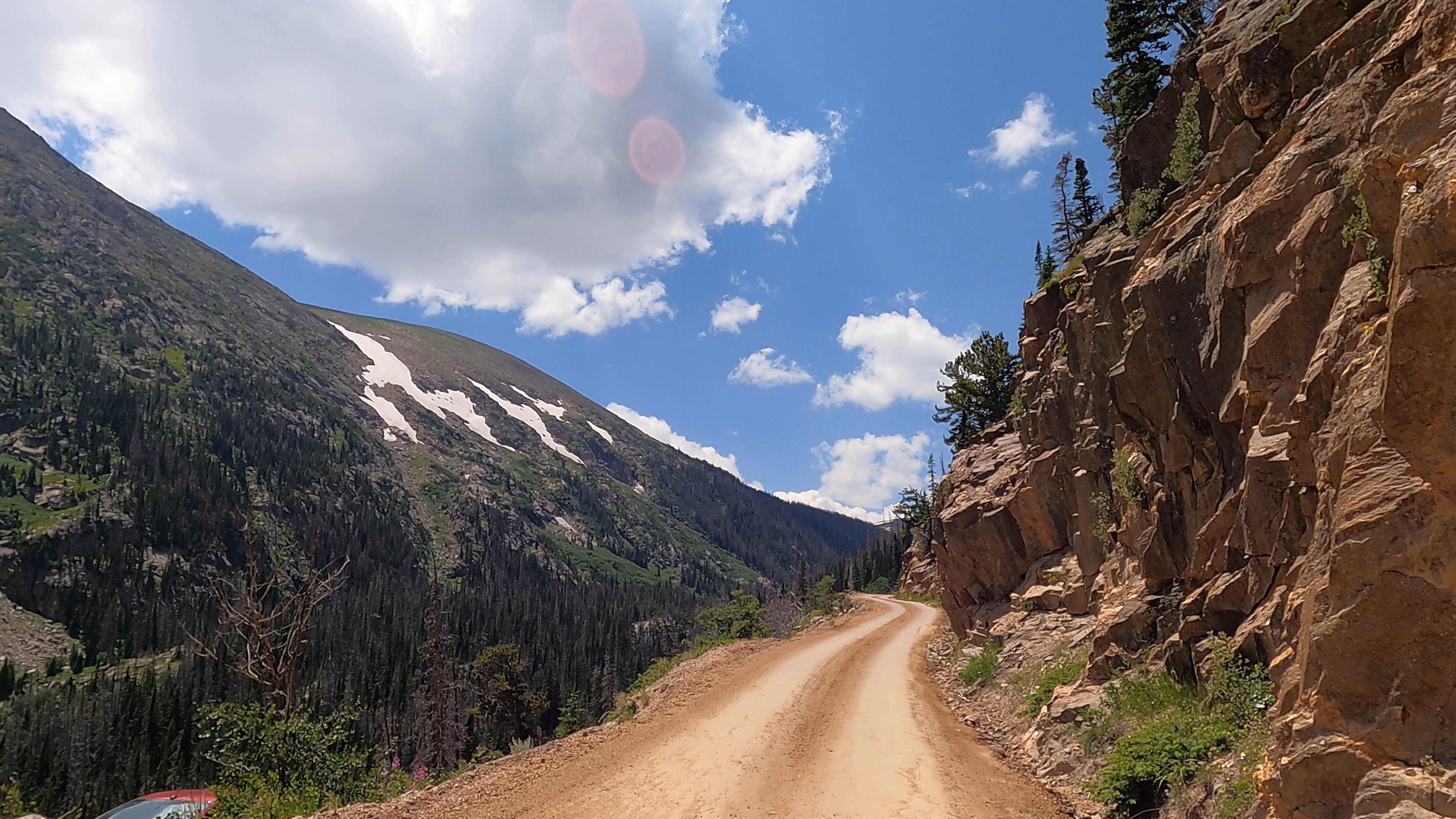
Rocky Mountain National Park has one of the highest and most recognizable paved roads in the United States. But the drive I remember most was not the main highway across the park.
It was Old Fall River Road, a narrow, one-way dirt road that climbs through forest, passes waterfalls and exposed mountain slopes, and ends at the Alpine Visitor Center at 11,796 feet.
The road is only 9.4 miles long, but distance is a poor way to measure this drive. Its gravel surface, sharp switchbacks, low speed limit and lack of guardrails force drivers to slow down. That slower pace is what makes it different from a conventional scenic highway.
I drove Old Fall River Road during my visit to Rocky Mountain National Park. It was not the fastest or easiest way to reach the alpine section of the park. It was, however, one of the most distinctive roads I have driven in a national park.
Planning a drive on Old Fall River Road? This article answers three practical questions:
- Is the road safe for a regular passenger car?
- How difficult is the drive for someone uncomfortable with heights?
- Is Old Fall River Road worth choosing over Trail Ridge Road?
A Historic Route Into the Alpine Tundra
Old Fall River Road was built between 1913 and 1920 as the park’s first automobile route into the high country. More than a century later, it still feels closely connected to the terrain.
The road begins near Endovalley Picnic Area and travels uphill along the south side of Mount Chapin. It passes through montane forest, subalpine terrain and finally the open alpine environment near Fall River Pass. The route ends beside the Alpine Visitor Center, where it joins Trail Ridge Road.
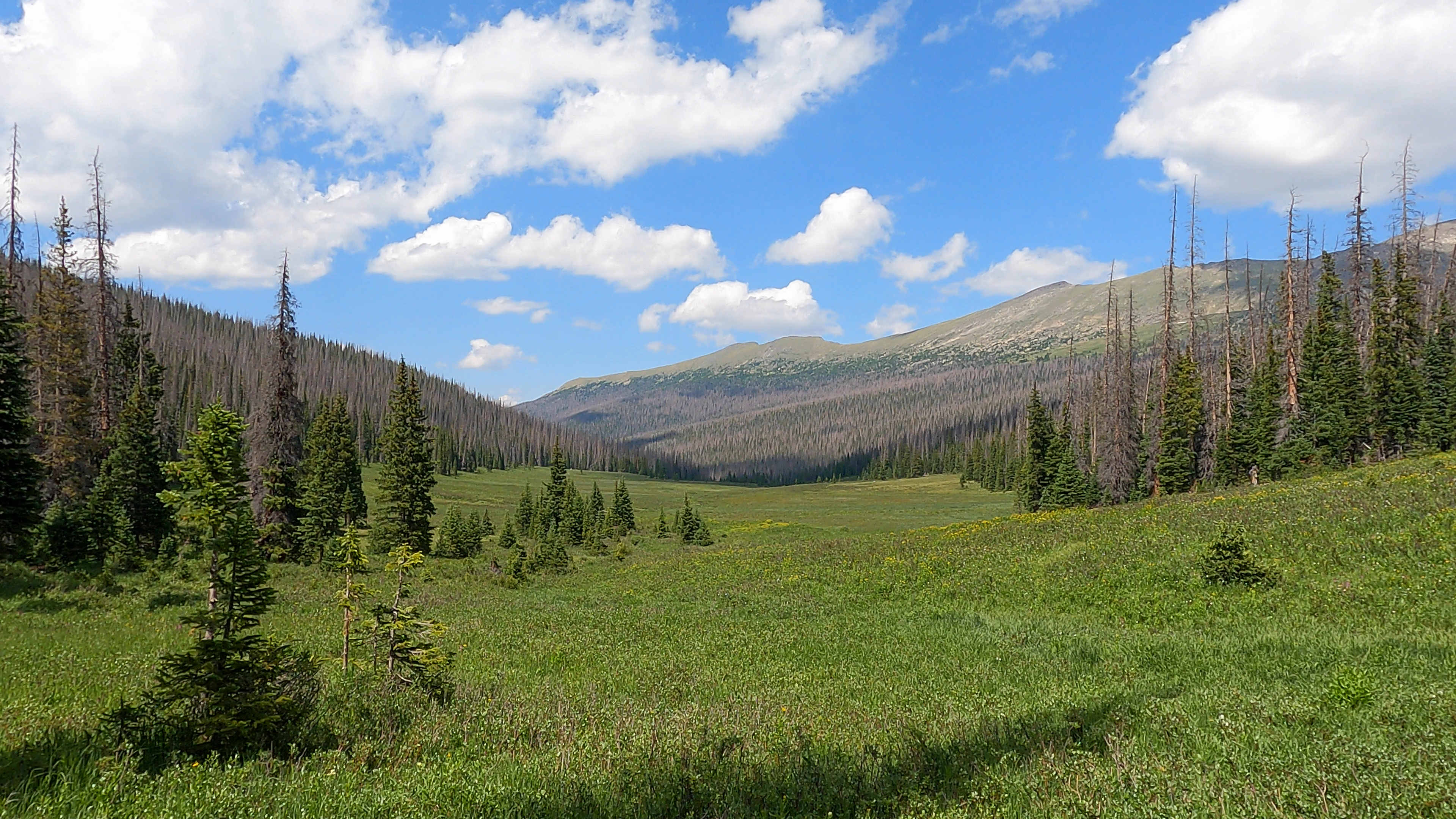
At the beginning, trees grow close to the road and limit the view. As the road gains elevation, the forest thins, mountain views expand and the landscape becomes increasingly exposed. By the end, the setting feels entirely different from the wooded valley below.
Old Fall River Road does not reach the highest point accessible by car in the park. Nearby Trail Ridge Road climbs to 12,183 feet and is identified by the National Park Service as the highest continuous paved road in the United States. Old Fall River Road’s appeal comes from how it reaches the high country: slowly, on dirt and through tight turns that follow the mountain.
What Driving Old Fall River Road Is Really Like
The road is one-way and uphill from Endovalley to the Alpine Visitor Center. Once you begin the one-way section, you cannot turn around and return by the same route. The practical return route is Trail Ridge Road.
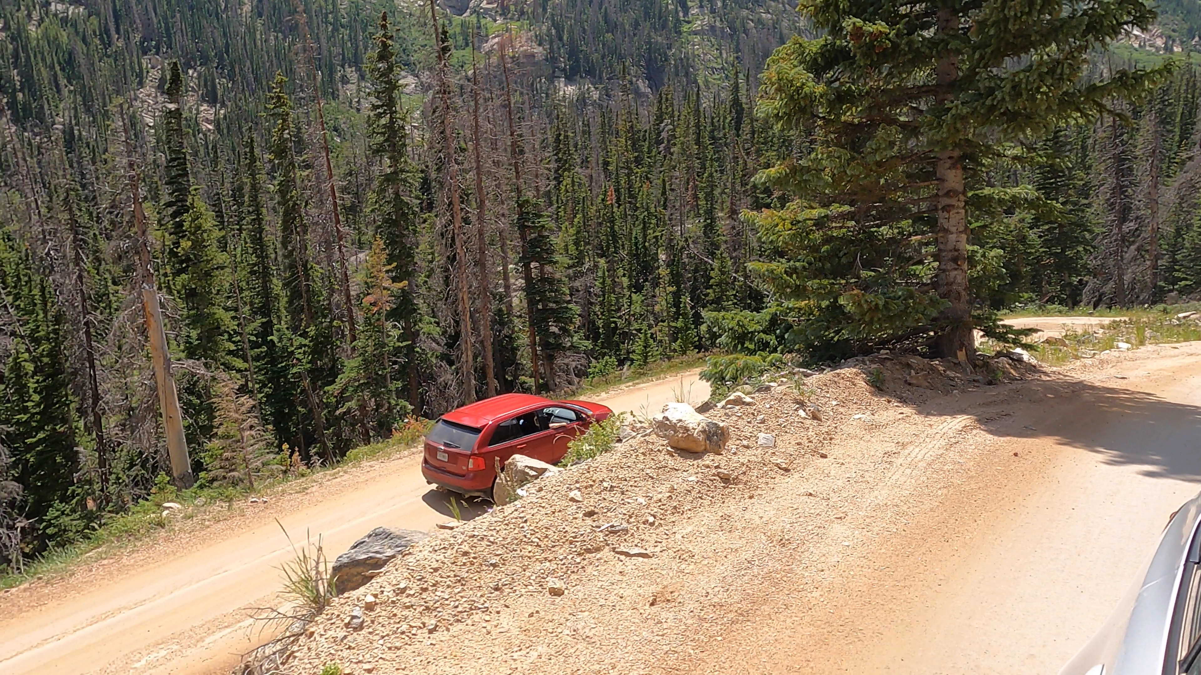
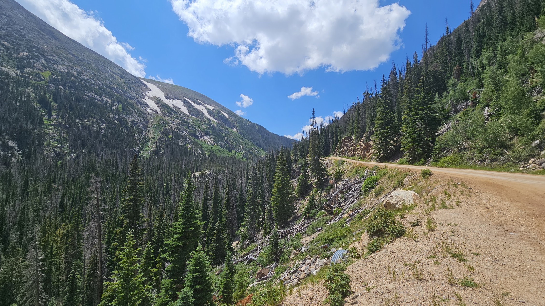
The posted speed limit is 15 mph, but several sections call for an even slower pace. The surface is primarily gravel and dirt. It can be uneven, dusty and narrow, especially around the switchbacks.
Important: There are no guardrails. Drivers who are uncomfortable with steep drop-offs should understand this before entering the road. Looking at the scenery is a job for passengers whenever the vehicle is moving.
For me, the narrow road and gradual climb made the drive more engaging than a standard paved overlook route. The landscape did not appear all at once. Each turn revealed a different section of the valley, forest or mountainside.
The road is generally suitable for standard passenger vehicles when it is officially open. Four-wheel drive is not normally required. However, vehicles longer than 25 feet and vehicles pulling trailers are prohibited because of the narrow roadway and sharp switchbacks.
Interactive Map: Old Fall River Road Route
The route begins near Endovalley and climbs one way to the Alpine Visitor Center. Use this map for orientation and verify current road status with the National Park Service before entering the route.
Chasm Falls Is the Most Important Stop
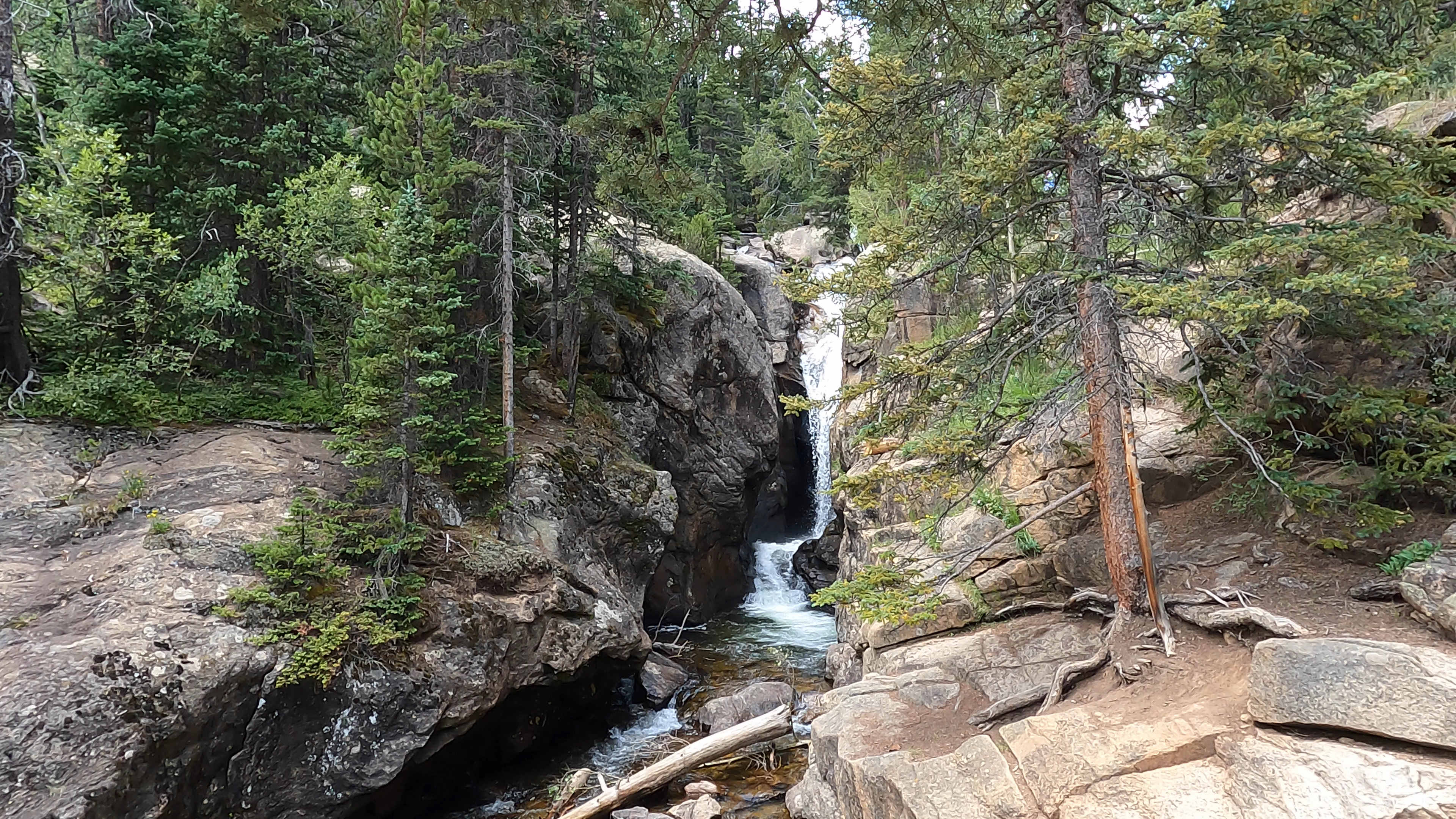
Chasm Falls is the most recognizable stop along Old Fall River Road and one of the best reasons to allow extra time.
A roadside pullout provides access to a short walk down to a viewing platform. The National Park Service describes the descent as approximately 40 dirt-and-rock steps. It is not a long hike, but the steps and elevation can make the return climb feel more demanding than expected.
Do not treat the waterfall as the only place worth stopping. Small pullouts provide changing views as the road gains elevation. Space is limited, so stop only where the vehicle can fit completely within a designated pullout. Never block the travel lane to take a photograph.
Alpine Visitor Center: The Final Stop
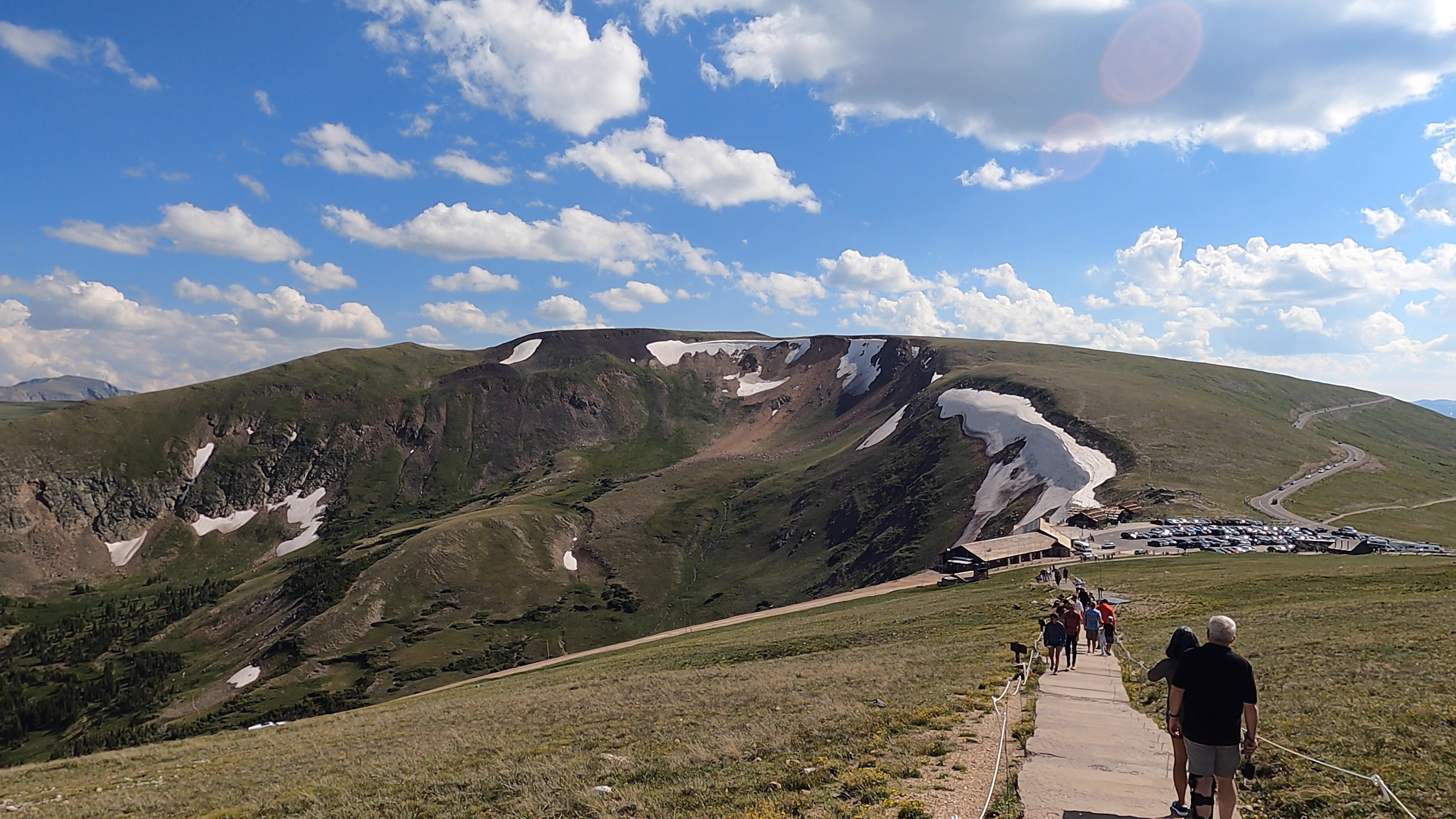
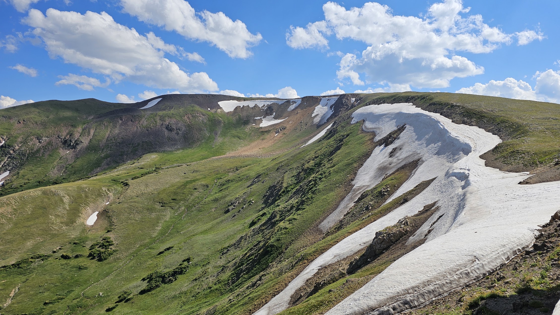
Old Fall River Road ends at the Alpine Visitor Center at Fall River Pass. At 11,796 feet, it is the highest-elevation visitor center in the National Park System. Its exposed location provides remarkable 360-degree views across Rocky Mountain National Park and direct access to the alpine tundra.
The visitor center is more than the end of the drive. It is a practical place to stop for park information, restrooms, weather updates and orientation before continuing on Trail Ridge Road. The adjacent Trail Ridge Store provides seasonal food, drinks and a place to get out of fast-changing high-elevation weather.
Wildlife sightings are possible throughout the drive and surrounding park roads. Elk may be seen in high-elevation areas during summer, bighorn sheep are commonly associated with the Fall River and Horseshoe Park side of the park, and moose are present in Rocky Mountain National Park, particularly in west-side valleys. Marmots and pikas are more typical of the rocky alpine terrain near Trail Ridge Road and Old Fall River Road. Always keep the required distance from wildlife and never approach an animal for a photograph.
Short Hikes Along Old Fall River Road and Near the Visitor Center
Old Fall River Road can be combined with short walks or longer hikes, but parking is limited and high elevation changes the difficulty. The most useful options include:
- Alpine Ridge Trail: A short, steep trail beginning beside the Alpine Visitor Center. It climbs quickly above the buildings for broad views of the alpine tundra and surrounding mountains.
- Chapin Pass Trail: Accessed from the Chapin Pass Trailhead along Old Fall River Road before the visitor center. Routes from this trailhead are longer and more demanding than the short walks around the visitor center, so allow separate hiking time and confirm current trail conditions.
- Short alpine walks near the visitor center: The immediate Fall River Pass area provides brief opportunities to walk, view the tundra and take photographs without committing to a long hike. Stay on established surfaces to protect fragile alpine vegetation.
Old Fall River Road vs. Trail Ridge Road
Visitors do not have to choose only one. In practical terms, the two roads work best as a loop: drive uphill on Old Fall River Road, stop at the Alpine Visitor Center and return on Trail Ridge Road.
| Old Fall River Road | Trail Ridge Road |
|---|---|
| One-way uphill | Two-way seasonal highway |
| Unpaved and narrow | Paved |
| Ends at 11,796 feet | Reaches 12,183 feet |
| 15 mph speed limit | Faster principal route across the park |
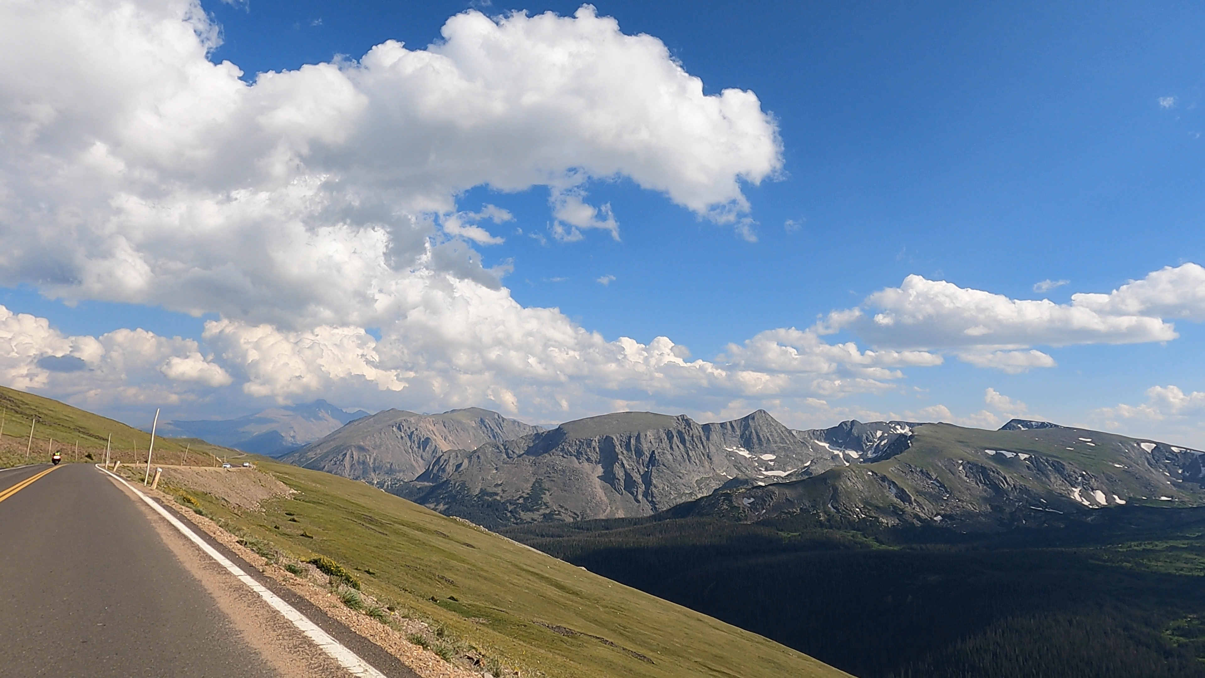
| Close views of forest, slopes and Chasm Falls | Broad tundra views and established overlooks |
| Best for a slow, historic scenic drive | Best for crossing the park and reaching its highest paved section |
If time permits and both roads are open, I recommend driving both. Old Fall River Road provides the close, slow climb. Trail Ridge Road provides the broad alpine views and a more direct descent.
How Long Should You Allow?
Do not plan the drive based only on its 9.4-mile distance. Allow at least one hour for the road itself and more if you intend to stop at Chasm Falls, use the pullouts or visit the Alpine Visitor Center.
A more realistic plan is to reserve several hours for the complete loop. Traffic, limited pullout space, weather, parking at the visitor center and stops along Trail Ridge Road can all extend the trip.
Starting early can mean less congestion, easier parking and more stable mountain weather. Conditions can still change quickly at high elevation, so check the forecast and road status before leaving.
When Is Old Fall River Road Open?
Old Fall River Road is seasonal. It has historically opened to vehicles in early July and remained open into the fall, often until early or mid-October, but exact dates depend on snow, road maintenance and weather.
The route can close temporarily even during its normal operating season. Check the National Park Service’s current road-status page on the day of your visit rather than relying on a general opening range.
Rocky Mountain National Park also uses timed-entry reservations during designated dates and hours. In 2026, access to areas outside the Bear Lake Road corridor—including Old Fall River Road—requires a Timed Entry reservation between 9 a.m. and 2 p.m. Requirements can change by year, so confirm the current rules before traveling.
Practical Tips Before You Drive
- Check the road status immediately before departure. Snow, heavy rain, maintenance or unsafe conditions can close the road.
- Confirm timed-entry requirements. A park entrance pass and a timed-entry reservation are separate requirements when timed entry is in effect.
- Use a standard-size vehicle. Vehicles over 25 feet and vehicles pulling trailers are prohibited.
- Fill the gas tank before entering the park.
- Use a restroom before starting. The road itself has limited visitor facilities.
- Bring water and warm clothing. Conditions near 11,800 feet can be much colder and windier than in Estes Park.
- Keep the driver focused on the road. Passengers should handle photography while the vehicle is moving.
- Do not stop in the travel lane. Use designated pullouts.
- Allow time to adjust to the elevation. Descend if altitude-illness symptoms become significant or worsen.
Is Old Fall River Road Safe?
For most drivers in a normal passenger vehicle, the road is manageable when it is open and dry. The National Park Service describes it as safe for most passenger vehicles.
That does not mean every visitor will find it comfortable. The combination of a narrow dirt surface, tight curves, steep terrain and no guardrails can be stressful for drivers with a strong fear of heights or little experience on mountain roads.
The decision should be based on comfort, not whether the vehicle has four-wheel drive. A careful driver in a regular car may be completely comfortable. A driver who becomes anxious near exposed edges may prefer Trail Ridge Road, which is paved and provides a more conventional mountain-driving experience.
Is Old Fall River Road Worth It?
Yes—if you want the drive itself to be part of your visit.
Old Fall River Road is not simply transportation to the Alpine Visitor Center. The unpaved surface, one-way climb, close forest, switchbacks, waterfall stop and transition into alpine terrain create an experience that cannot be reproduced by driving only on the park’s main paved roads.
Travel rankings often try to identify a single “most beautiful” road in America. I do not think scenic roads need one universal winner. Old Fall River Road stands out for a more specific reason: few roads allow ordinary passenger cars to follow a historic dirt route from a wooded valley to nearly 11,800 feet in less than 10 miles.
That is what made the drive memorable to me. It did not need a national ranking. The road’s setting, history and slow climb were enough.
Watch the Complete Old Fall River Road Drive in 4K
This full-length driving video shows the road surface, narrow sections, switchbacks, mountain views and the complete climb to the Alpine Visitor Center. It provides a more realistic view of the driving experience than short clips or still photographs.

About the Author
Andy Newman is the founder of Next Outdoor Adventures. Andy has been hiking in many of the most popular national parks for over a decade, with notable trips including the Grand Canyon, Bryce Canyon, Zion, Acadia and Rocky Mountain National Park.
He creates practical guides based on first-hand visits, with a focus on helping readers understand what an outdoor experience is actually like before they arrive.
FAQ: Driving Old Fall River Road
Do you need four-wheel drive for Old Fall River Road?
No. Four-wheel drive is not normally required when the road is officially open. The route is generally suitable for standard passenger vehicles, although the surface can be rough, dusty and uneven.
Is Old Fall River Road one-way?
Yes. Vehicle traffic travels uphill from the Endovalley area to the Alpine Visitor Center. Drivers return by Trail Ridge Road.
Are there guardrails?
No. The road is narrow and curved, and it does not have guardrails.
Can an RV drive Old Fall River Road?
Vehicles over 25 feet are prohibited. Trailers and tow vehicles are also prohibited.
What is the highest elevation on the drive?
Old Fall River Road ends at Fall River Pass and the Alpine Visitor Center at 11,796 feet.
How long is Old Fall River Road?
The National Park Service lists the route as 9.4 miles. Because the speed limit is 15 mph and visitors often stop, allow at least an hour for the road itself.
Can you drive Old Fall River Road in winter?
No. Vehicle access is seasonal and normally begins in early summer after snow removal and road preparation. Always verify the current status with the National Park Service.
Official Planning Sources
- National Park Service: Old Fall River Road scenic drive
- National Park Service: Old Fall River Road
- National Park Service: Alpine Visitor Center
- National Park Service: Wildlife viewing
- National Park Service: Current road status
- National Park Service: Timed-entry permits
- Next Outdoor Adventures: Old Fall River Road full drive in 4K